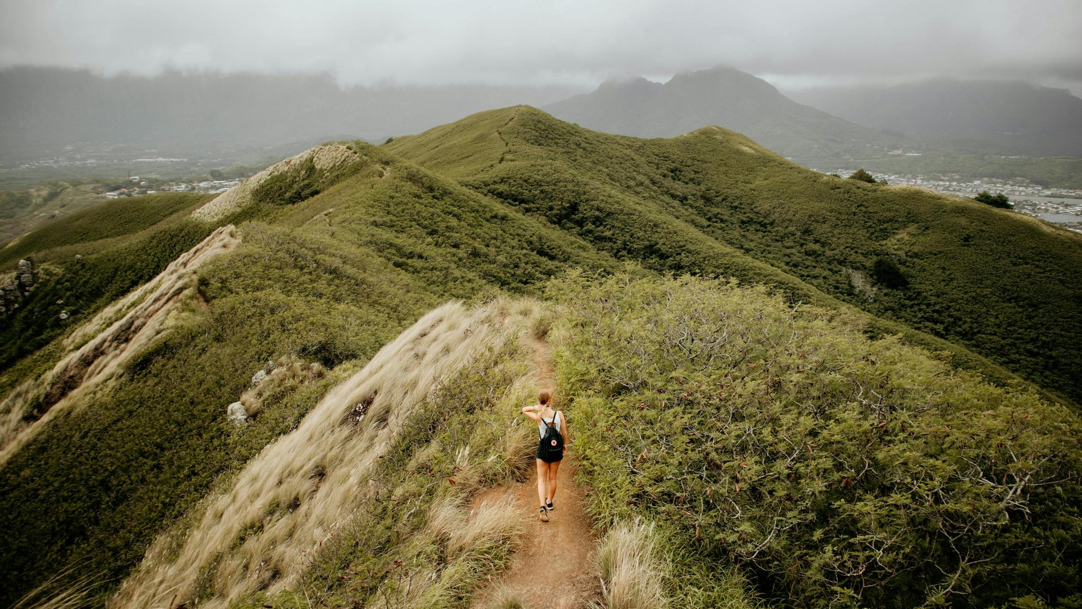
The hiking trails in this region are probably some of the best in the world. They vary in length and difficulty, but almost all have some form of state-maintained wilderness cabin with toilet facilities, a wood supply and a nearby water source.
The mountains blossom throughout July and August and hiking is possible from mid June to the end of September, though between c. 20th June and 20th August you want to be on a fairly high trek because of the mosquitos. The first three weeks of September bring the vibrant ruska autumn colour.
- Two trailheads on the north side of Hetta: Nature Centre Skierri and the centre school
- Jyppyrä Nature Reserve – ancient seita worship site with a 2km circular summit trail
- 107 prehistoric reindeer hunting pits forming a 1.5km chain (protected by the Antiquities Act)
- Marked trails from Skierri: Jyppyrä (1.6km), Peurapolku (2km), Kuntopolku (4km), Palosenjärvi (9.5km), Pahtajärvi (18km)
- Ideal orienteering terrain, with a fixed course at Jyppyrä
Hiking and Orienteering in the Hetta Area
Trails on the north side of Hetta start from two points: the Nature Centre Skierri and behind the Enontekiö centre school buildings. To reach Pallas-Yllästunturi National Park you first cross Lake Ounasjärvi – private tourist services run boat trips, and you can catch one from near the silver shop beside the municipality offices.
The Hetta area is ideal for orienteering. Jyppyrä is the best place for beginners, while the Ounastunturi area challenges even experienced orienteers. There is a fixed orienteering course at Jyppyrä and a new training course at CAPE Lapland on the Hetta Huskies farm routes.
Jyppyrä Nature Reserve
Jyppyrä, at the eastern end of Hetta, is well worth a visit – for its nature, the Fell Lapland Nature Centre or the Downhill Ski Resort. It was once a place of worship, where small sacrifices were made at an ancient seita rock near the top of the hill. Local legend says missionaries rolled this rock into Lake Ounasjärvi in the 1800s to stop pagan worship.
The shortest trail (c. 2km) is a circular route that ascends to the summit on a small forest trail and descends via a well-maintained wooden staircase. At the summit, a campfire shelter offers the perfect vantage point over the surrounding fells.
Prehistoric Hunting Pits
The Jyppyrä area holds 107 remains of prehistoric hunting pits used for catching wild reindeer – among the very few remains of prehistoric hunting equipment, forming a chain-like system 1.5km long. They were used for group hunts at the turn of autumn and winter, when many hunters together could take thousands of kilos of reindeer meat. Later, wedge-like 'vuomen' fence structures were used; legend holds that a man called Päiviö and his party caught 1,000 reindeer in one go. The first actual deer guns came into use in the 1600s.
Marked trails from Skierri
The Jyppyrä Trail (1.6km) runs from the Skierri Fell Lapland Nature Centre to the lookout at the top of Jyppyrävaara Hill, marked with red-painted sun symbols. The Peurapolku Trail (2km) is the most accessible, a classic Scandinavian board-walk trail with information boards about wild forest reindeer hunting. The Kuntopolku Trail (4km) is marked with green and joins the lit jogging track. The Palosenjärvi Trail (9.5km) circles the hilltop, and the Pahtajärvi Trail (18km) leads to the dramatic canyon Lake Pahtajärvi on the north side of Hetta.