The hiking trails in this region are probably some of the best in the world. They vary in length and difficulty, but almost all have some form of wilderness cabin provision. The cabins are state-maintained and range from reserved locked huts to open lean-to shelters, all with toilet facilities, a wood supply and a nearby water source.
The mountains blossom throughout July and August and hiking is possible from mid June to the end of September, though between c. 20th June and 20th August you want to be on a fairly high trek because of the mosquitos. The first three weeks of September turn the landscape vibrant with colour – the ruska period.
- 55km Hetta-Pallas Hiking Trail, route first outlined in 1934
- Open and reservable wilderness huts roughly every 10km
- Lake Ounasjärvi must be crossed by boat at the Hetta end (lift a signal flag from the Pallas side)
- Best hiking from late June to mid-October; ruska autumn colour in early September
- Highest fell Taivaskero reaches 807m; Pakasaivo ravine lake is 60m deep
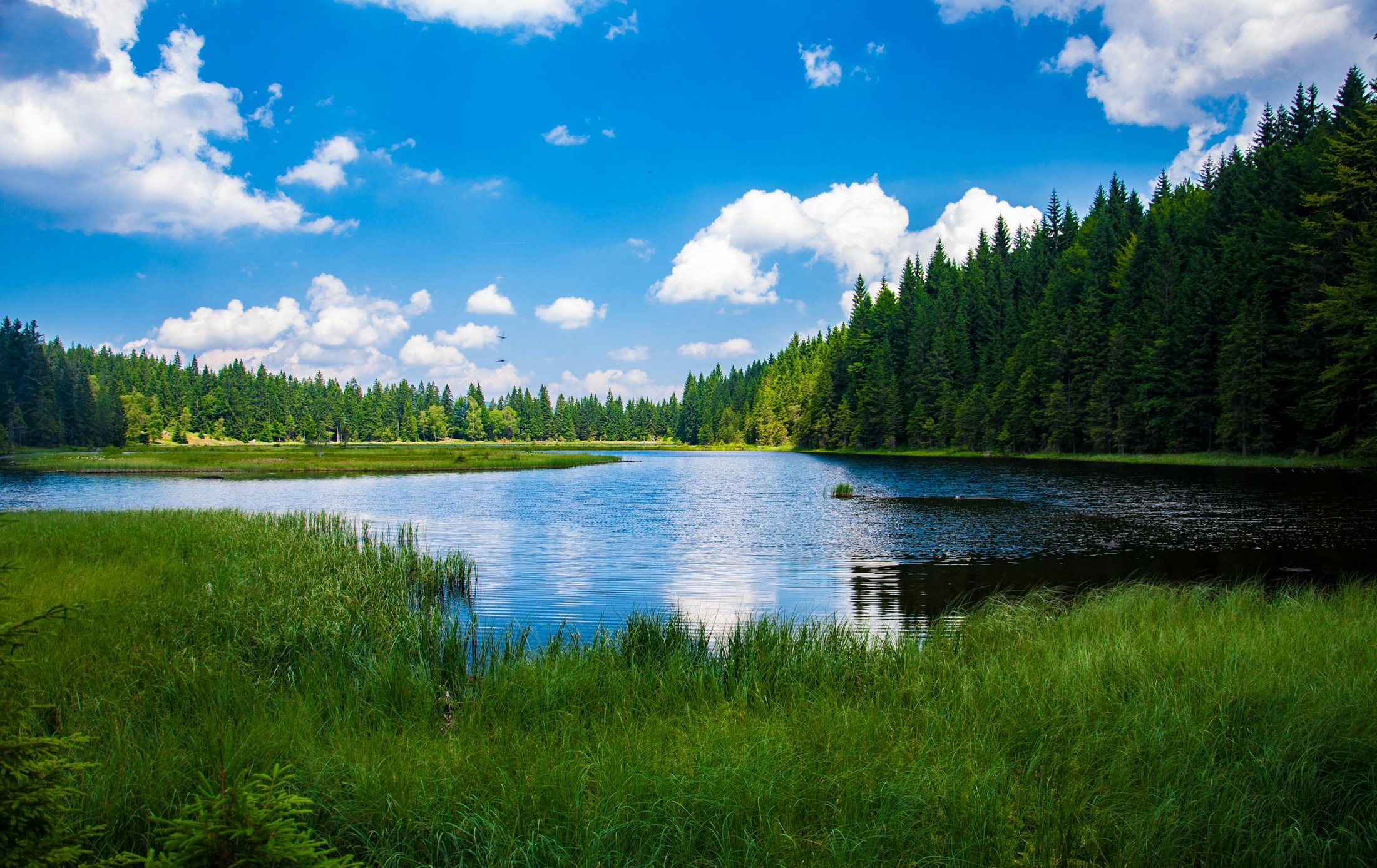
Hiking through the Pallas-Yllästunturi National Park
The scenery in Pallas-Yllästunturi National Park is dominated by fells surrounded by forests and mires in their natural state. With clean nature and varying terrain, it is a wonderful place to hike, ski and enjoy the outdoors, and the beauty of the Pallastunturi Fells has made it one of the Finnish national landscapes.
Pallas-Yllästunturi is Finland's third largest National Park, created by combining Pallas-Ounastunturi National Park and Ylläs-Aakenus Nature Reserve. The highest fell in the chain is Taivaskero, at 807 metres. Geologically the park sits between Northern Finland, Forest Lapland and Fell Lapland, giving it a varied habitat with a mix of northern and southern species.
Hetta-Pallas Trail (55km)
One of the park's most popular destinations is the 55-km-long Hetta-Pallas Hiking Trail, whose route was outlined in 1934. It leads over fells, sometimes descending to the ravines below as if to prepare hikers for the breathtaking view from the next summit, and can be walked south to north or north to south. The best time runs from Mid-summer in late June until just before winter sets in around mid-October, when only a few wanderers remain on the trail.
The main start and end points are Hetta Village and Pallastunturi Visitor Centre. On the south side of Hetta hikers must cross Lake Ounasjärvi by boat – from the Pallas direction, lift a signal flag and a boat will come to collect you. The trail is well marked with several places to rest, making it suitable for those with little experience, though basic hiking and survival skills are advised. Open and reservable huts sit roughly every 10km.
NB: You can even run the route in a few hours in the Hetta Pallas Ultratrail Run (55km / 1800m of ascent) at the end of July.
Shorter connecting and nature trails
Vuontispirtti – Montelli Cabin – Vuontispirtti (10km roundtrip) is a beautiful, fairly steep trail to a small, very old cabin nestled in the middle of the fells, connecting to the main Hetta-Pallas trail.
The Ketomella-Tappuri Trail (20km) leads up on old boardwalks to the Sami reindeer marking village of Tappuri. The Pippovuoma Wetland Trail from Ketomella (10km) is a beautiful marshland trail featuring unique aapa bogs. The Pyhäjoki Nature Trail at Pallasjärvi (3km) follows a steep, alpine-style stream descending to the lake.
Pakasaivo and the Kirkkopahta Seida Rock
A hidden gem at the southern end of the park is the Pakasaivo 'Saivo' / ravine Lake – a fascinating geological formation with strong mythological traditions. Both the lake and the nearby Kirkkopahta seida rock are ancient Sámi holy places.
The narrow one-kilometre-long lake, also known as the 'Hell of Lapland', is 60 metres at its deepest, with steep cliff walls rising up to 60 metres above the water. It is the second deepest body of water in Northern Finland after Lake Inarijärvi. A wheelchair-accessible 200-metre trail leads to a lookout point, and a Lapp 'kota' hut by the parking area serves as a café in summer.