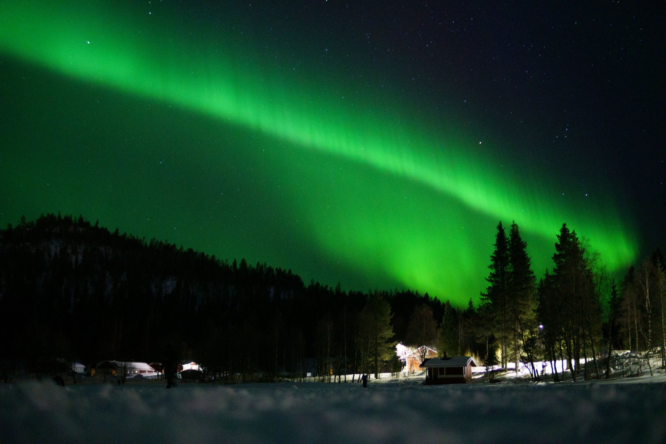
Since we are 'off the normal grid', this section helps you orientate yourself relative to key Scandinavian towns and airports. The last leg to us is by air or road, as the closest train stations are a couple of hundred kilometres to our south. Most springs there are direct connections from Helsinki to Enontekiö, but these are often announced late.
- Only four roads run through the whole region
- Closest train stations are a couple of hundred kilometres to the south
- Last leg of the journey is by air or road
Only four roads
There are only four roads running through the whole region. One leads west to where the northernmost borders of Sweden, Finland and Norway meet and continues on towards Tromsø in Norway; en route, you can turn off towards Kiruna and Northern Sweden. The second road crosses the high tundra to our north before dropping down to Alta and the Arctic Ocean. The remaining two roads effectively head south, contouring around the borders of the line of fells that form the Pallas-Yllästunturi National Park. To our east lies nothing but pure wilderness for mile upon mile.
 Area HistoryThe history of Enontekio — from Stone Age hunters and fishers through nomadic reindeer herding, postal trails, small-scale farming and the Lapland War.
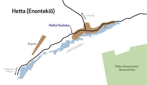 Hetta & EnontekioHow to find the husky farm — just 4km west of Hetta, the capital of the Municipality of Enontekio — with maps of the town, shops and what's nearby.