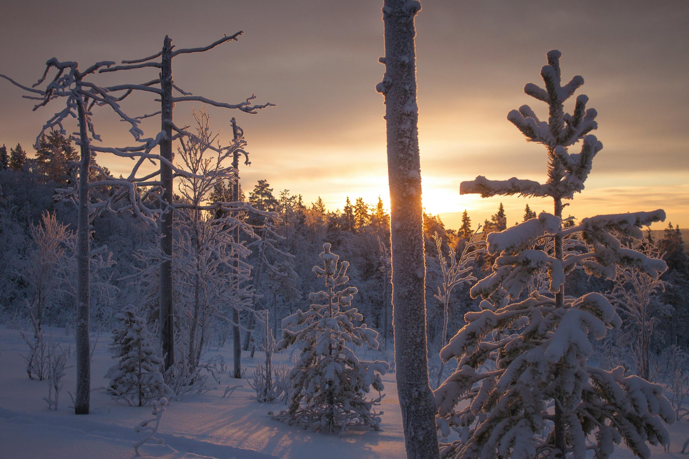
Tarvantovaara Wilderness Area is located west of the village of Leppajarvi and north of the village of Kaaresuvanto. The southern boundary more or less replicates the northern limit of pine forests and its northern boundary lies in fell tundra, along the Finnish-Norwegian border. About a third of the area is mire — mainly palsa bogs with frost mounds. The most common trees are fell birch and the highest peaks are over 600m above sea-level.
- Tarvantovaara Wilderness Area — west of Leppajarvi, peaks over 600m
- About a third of the area is palsa-bog mire with frost mounds
- 15km Salvasjarvi–Harkajarvi quad-bike trail across open tundra
- 29.7km Harkajarvi–Aksomuotli route towards Kautokeino, Norway
- Open wilderness huts at Syvajarvi and the Norwegian Fjelstation at Siccajarvi
Wilderness Trails in Tarvantovaara
Trails to the wilderness cabin at Salvasjarvi are described in the 'Hetta Trails' section. From Salvasjarvi, a 15km quad-bike trail leads to Harkajarvi across the open mountain range, onto the high tundra north of Stuorrahanoaiv. There is a wet alpine slope to the north of Harkajarvi, and at the reindeer gate — far beyond the yellow-painted border rocks — the route joins the old market path from Karesuvanto to Kautokeino.
Around Palojoki and the Wilderness Area Itself
A 22km trail runs between Salvasjarvi and Kultima, and a 16km quad-bike trail follows an old lost track between Palojarvi and Salvaspaa — only for the adventurous. The 24km Leppajarvi-Kultima route is an old track marked with mile signs, starting and ending at the bridge across the Palojoki. From Kultima, follow the gravel road for 13km to the main road at Kuttanen.
To the North, towards Kautokeino
The 29.7 km Harkajarvi-Aksomuotli trail leads from the reindeer gate into dense scrub where it is not clearly marked, though you can usually pick up the old trace. It passes through the Favrusjokkan tundra towards Galanita, where you wade across the Sallanjohka (Roggejohka), with the last 13km on asphalt. The 41km Kautokeino-Siccajarvi trail runs c. 20km on asphalt and 14km on a tractor road; Siccajarvi has a Norwegian Fjelstation for overnight stays.
The Kaaresuvanto-Lavivaara-Syvajarvi Trail (20km)
This trail starts at the village of Kaaresuvanto and leads to Lake Syvajarvi via Lavivaara Hill, where it changes from gravel road to dirt track. It is marked with kilometre posts, like all Finnish Road Administration trails. The terrain is undemanding, though a bit rocky at the Syvajarvi end. Services: Syvajarvi open wilderness hut. For a longer, wilder, more demanding trip, continue via Puussasvaara to Neuhkana and on to either Hirvasvuopio and Munnikurkkio, or via Kalkuaivi to Kelottijarvi.